Stops
Trails
Car Parks
Entry
Coastal Cliff Walk • 4.2 kmHeritage
Tower Loop • 2.1 kmParking
Main Trail • 1.2 kmVista
Cape Trail • 5.6 kmViewpoint
Cliff Edge • 2.9 kmMajjistral sits on one of the Mediterranean's busiest migratory corridors. Honey buzzards soar in autumn, bee-eaters call overhead in spring, and a hardy cast of residents — zitting cisticola, spectacled warbler, stonechat — work the garrigue year-round. Bring binoculars, walk softly.
 All year round 01
  All year round 02
  All year round 03
Annual bird lists and breeding surveys compiled by the park's volunteer ornithologists.
From wind-pruned garrigue to a fleeting winter rock pool, each
habitat shelters its own cast of species. Many are listed as Annex 1
habitats of European importance.
Low shrubs under a metre, with annuals and bulbs. Watch for Mediterranean Thyme in late spring.
Maquis is a dense evergreen shrubland and ranks among the most important habitats in the park. Evergreen honeysuckle is one of the shrubs that grows in it.
A small sand dune remnant at Ramla tal-Mixquqa holds the last shifting sand dunes on the island. It supports the only known population of Sand Restharrow in the Maltese Islands.
Boulder scree formed when wave action eroded the clay beneath the limestone and sections of rock collapsed. It is a special habitat for plants that has stayed protected because it is hard to reach
Much of the park’s coast is made up of cliffs and boulder screes. Together with the clay slopes they form a habitat known as Rdum
Majjistral is a geomorphologist's classroom. Hard Upper Coralline Limestone rests on soft Blue Clay; rainwater erodes the clay, the cap collapses, and great boulders tumble to the shore as screes. Karstification, faults and landslides keep the coast in slow motion.
Collapsed cap rock that armours the shoreline against the waves.
Acidic rain dissolves the limestone into shafts, tunnels and caves.
Reddish soil pools in dissolution depressions.
Cart-ruts, rubble walls, classical-period tombs, corbelled giren, Knights-era
entrenchments above Golden Bay, British pillboxes and Navy markers.
Every century of Malta's strategic life has left a trace on this coast.

Għajn Żnuber Tower, a two storey limestone tower.
Corbelled stone huts passed from one generation of farmers and shepherds to the next.
Early-18th-century coastal defences flank the valley above Ir-Ramla tal-Mixquqa.
Għajn Tuffieħa barracks, pillboxes and Navy stone markers from the early 20th century.
A 5,000-bed convalescent camp for soldiers wounded in the dardanelles campaign.
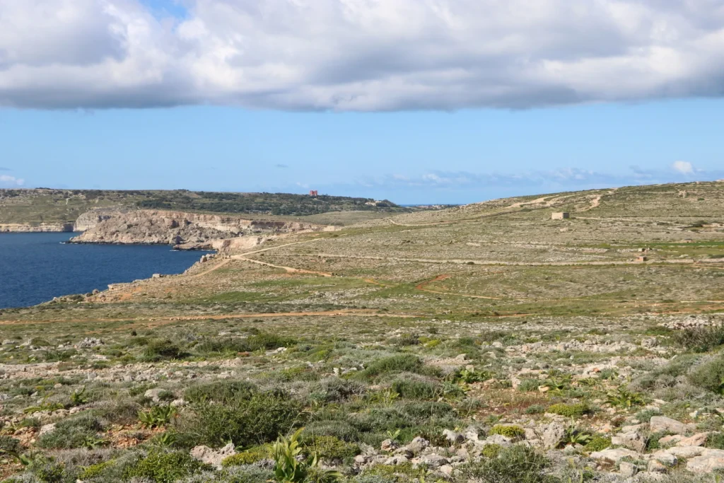
Twelve waymarked trails link the geology, habitats and heritage you've just read about.